7/25/2026 Balloon Launch
- Details
- Written by: Blake Raab (N4BWR)
- Category: Balloons
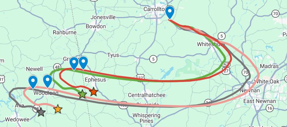
On the morning of July 25th, the West Georgia Amateur Radio Society will be launching a weather balloon. It will be beaconing the callsign W4FWD-11 on APRS. You can track it here from anywhere. I will also have this page up, which will show the position of the balloon in near real time. You can click on the balloon icon to see the details of the latest beacon. You can also click on any of the previous points to see that information. The morning's flight prediction will show as a dotted blue line. One of the bonus features of this page is that it will detect the burst beacon from the balloon and will then calculate the approximate landing site, which will be indicated by a green pin surrounded by a roughly 3 mile circular search area.
LAUNCH DAY UPDATE:
Quick Links
N4BWR Balloon Tracker
- Details
- Written by: Blake Raab - N4BWR
- Category: Balloons
Based on assessing needs (and nice-to-haves) from previous weather balloon flights, I have developed a balloon tracking and recovery web page. We can enter the balloon's call sign, burst detection altitude (as a fallback), and upload the flight forecast KML file. It then shows the balloon's beacons and path in real-time. People can also add themselves as chasers under the chasers tab. Chasers show up as red circles. You can click on an icon to see information about the chasers. The icons will update on an interval, but it will not show a path for chasers like it does for the balloon.

Here are the especially helpful parts. WX4BK has implemented a burst detection system on the Raspberry Pi that we fly. It datalogs once per second. When burst happens, we sometimes lose comms for a few minutes. The Pi logs the highest altitude (burst altitude) and location. When communication is reestablished, it sends a beacon saying that burst has happened, and exactly where it happened.

My page reads that beacon in real time, parses it, and uses my proven method of calculating the bearing and distance between predicted burst and predicted landing to identify the likely landing point and also draws a 3 mile search circle around it. No more switching between apps and tabs on the fly in our vehicles or out in the field (quite literally!). Just copy the coordinates, and we're off to the landing area.
You can check out the page here. You will only be able to add yourself as a chaser. If you don't see other data on the map, it's because I am still experimenting and working out some issues. For the tech savvy among you, yes, I know the admin password is not exactly secure. Please do not share it or point out where you can see it. It's really just light security so that people don't accidentally wipe out the prediction or balloon path in the middle of recovery.
Also for the tech savvy, if you would like to see the code behind this (and further develop it) check out my project on GitHub.
August 2024 Weather Balloon Launch
- Details
- Written by: Blake Raab (N4BWR)
- Category: Balloons
Weather balloon launch day is here! See the launch day flight forecast here. Some key flight information:
- APRS frequency is 144.390 MHz. Balloon callsign is W4FWD-11. Track on aprs.fi here.
- Crossband repeater: TX on 145.600, RX on 445.450. Use 131.8 hz CTCSS on both!
- Distance and bearing between estimated burst and landing is 2.872 miles at 212.49 degrees.
- Once the balloon beacons that it has burst, you can enter the burst coordinates along with bearing and distance to find estimated landing point here.
West Georgia Amateur Radio Society Interviewed about Pico Balloons
- Details
- Written by: Blake Raab (N4BWR)
- Category: Balloons
This morning, 2/21/2023, I was one of three members of the West Georgia Amateur Radio Society to be interviewed about weather balloons, pico balloons, and amateur radio in general on WLBB. You can listen to the interview here.
Page 1 of 3